Pamukkale
It was determined and announced by the Decision of the Council of Ministers dated 22.10.1990 and numbered 90/1117.
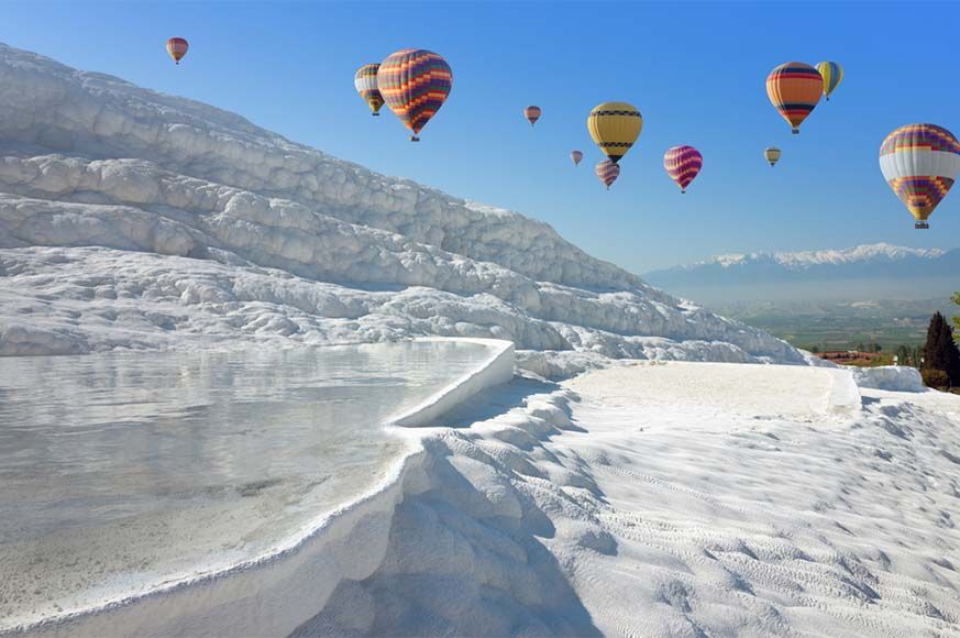
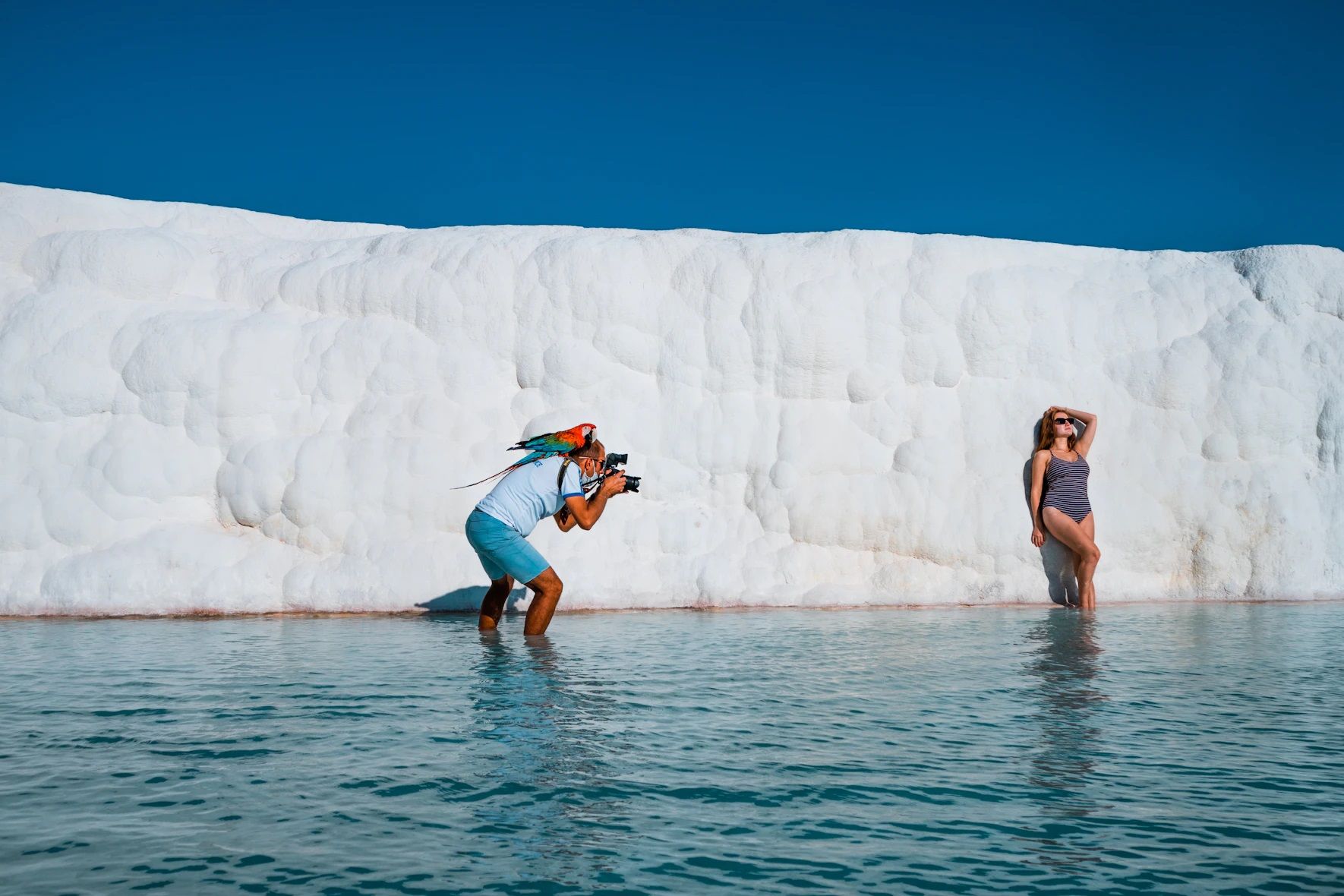
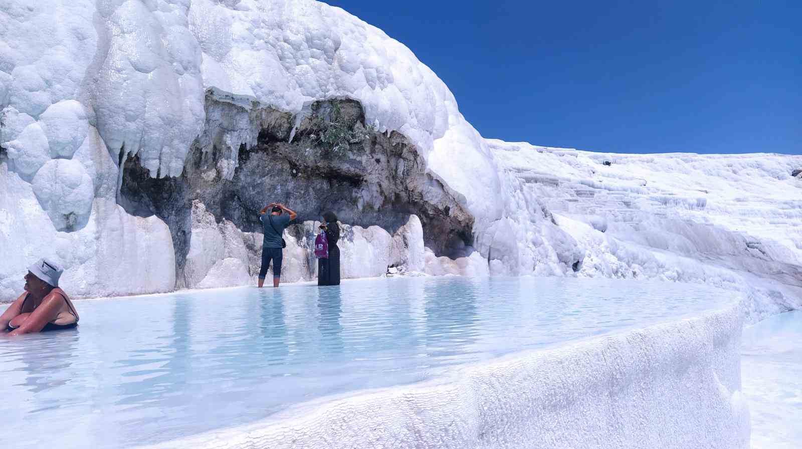
General Features: Thermal water resources that form the Pamukkale Travertines, which are important natural resources in the region, have affected a wide region and there are 17 hot water resources with temperatures varying between 35-100°C.
Pamukkale Special Environmental Protection Area; Denizli province consists of 2 towns and 2 villages in Akköy district. It is a region 20 km northwest of Denizli Province, standing out with its unique geological structure and historical values; It includes the residential areas of Pamukkale (Ecirli), Akköy, Karahayıt, Develi and Yeniköy. There are Baba Mountains in the south, Büyük Çökelez and Küçük Çökelez Mountains in the north.
Denizli Province and Pamukkale, part of which is in the Aegean Region and part of which is in the Mediterranean Region; Sometimes it is also under the influence of the Anatolian climate. According to measurements of Denizli Meteorological Station, the average annual total precipitation amount is determined as 565 mm.
There are two main soil groups in the region, brown forest soil and colluvial soil, and there is more natural vegetation; It is found on stream banks, border lines between agricultural areas, groves, pastures and hills that are not suitable for agriculture. On the Hierapolis plateau plain, there are visible natural mass greenery Nerium oleander (oleander) and Ficus Inur and Vitex Agnus Castus groups. Some species of herbaceous plants reveal themselves depending on the seasons and with temporary leaf-flower color effects.
Maquis and large forest vegetation are mostly located on the high hills in the northeast of the plateau. In addition, the agricultural plant texture of the Çürüksu Plain creates a very wide green cover based on polyculture agriculture.
Thermal water springs that form the Pamukkale Travertines, which are important natural resources in the region, have affected a wide region, and there are 17 hot springs with temperatures varying between 35-100oC.
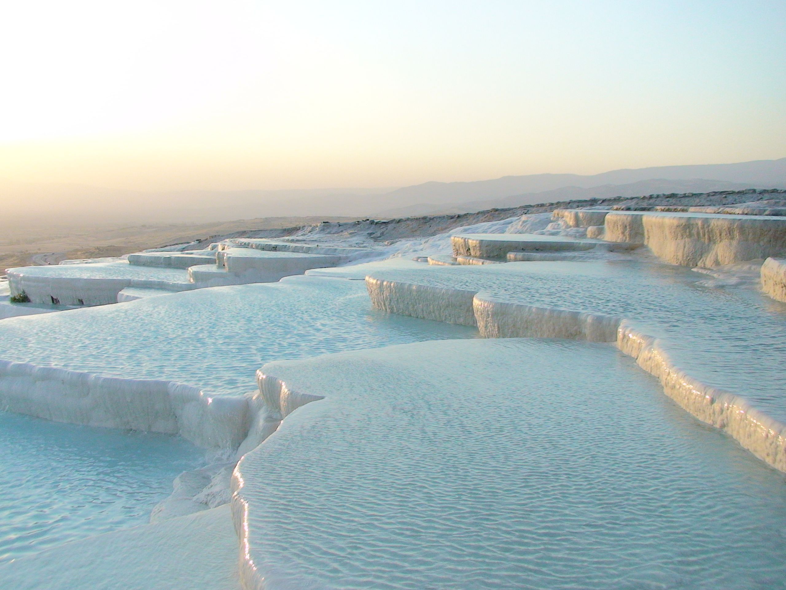
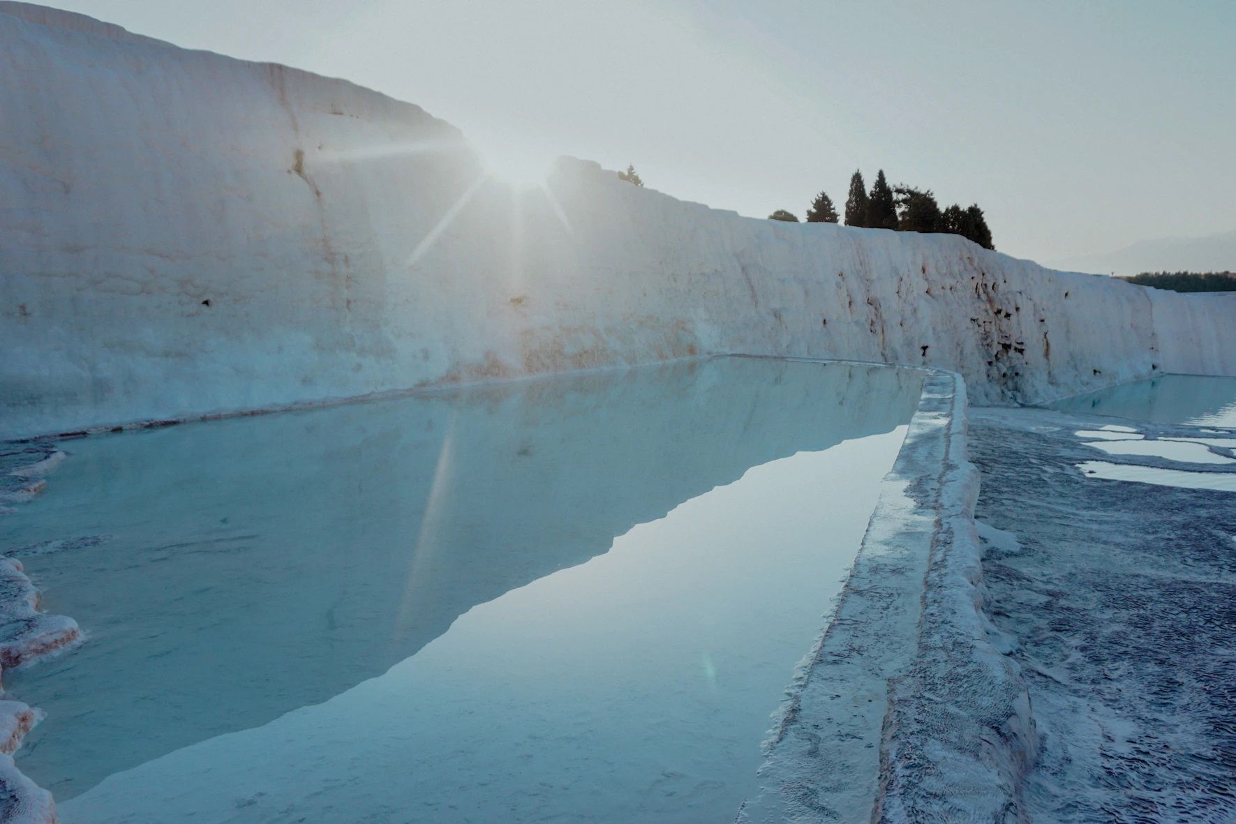
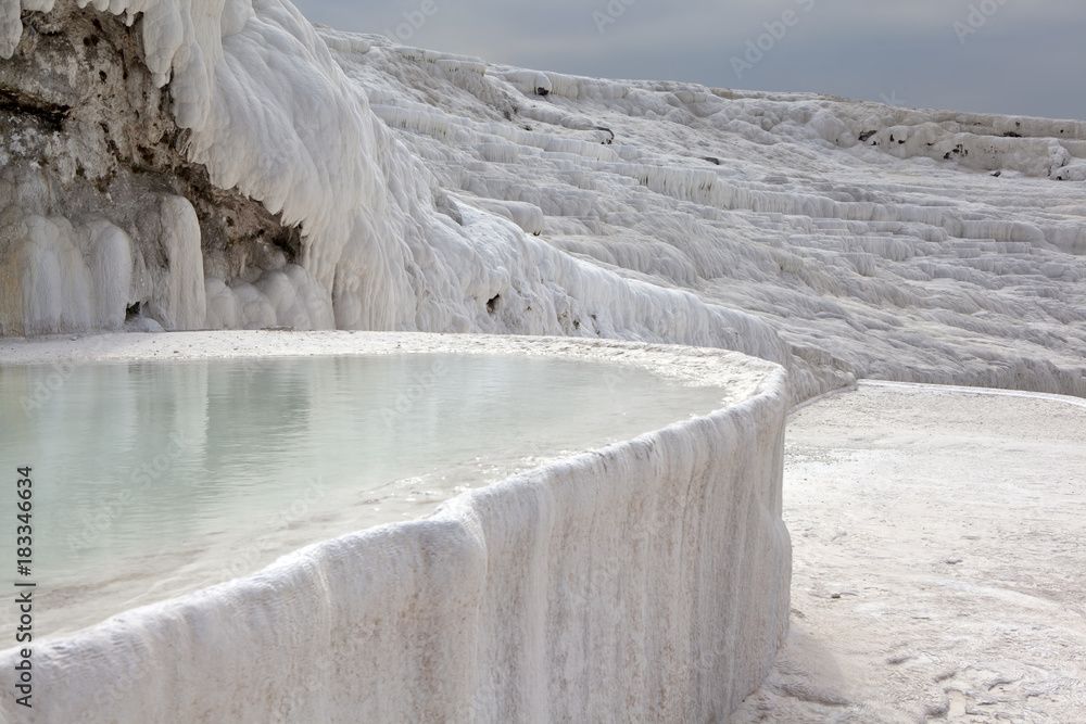
Thermal waters emerging from the limestone layers right in front of a large crystalline mass on the southern slope of Çökelez Mountain constitute Pamukkale, a natural monument in our country. Pamukkale Travertines are observed in an area starting from the area called Domuz Pit near Kadı Creek in the south and extending to Çaltik Creek flowing near the last tomb of the Nekrapolis in the north.
Karahayıt Geothermal Resources, located in the northwest of the fault zone where the hot springs forming the Pamukkale Travertines emerge within the Special Environmental Protection Zone, have made the region an important health and tourism center. The temperature and chemical composition of the waters in question are of different nature, and this has enabled the formation of the red travertines observed in Karhayıt Town. Coordinated studies are carried out between our Institution, Denizli Governorship and MTA in order to ensure that the high geothermal potential around Karahayıt is used in accordance with its natural balance.